
Case Study
Outdoor Adventure Mapping Platform
We helped translate a vision for a new 3D map data pipeline into an executable architectural design.
About the client
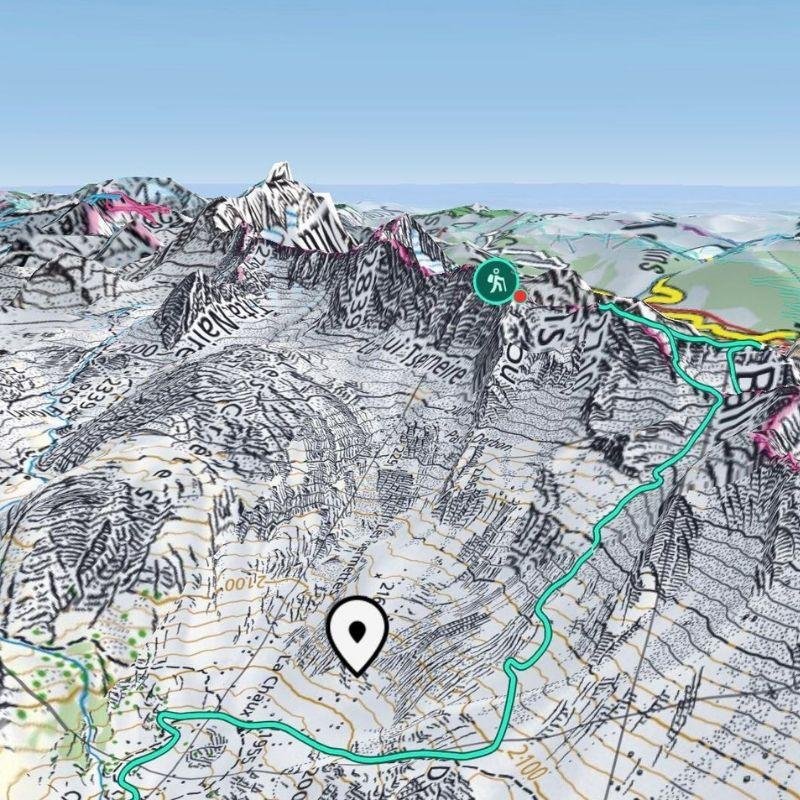
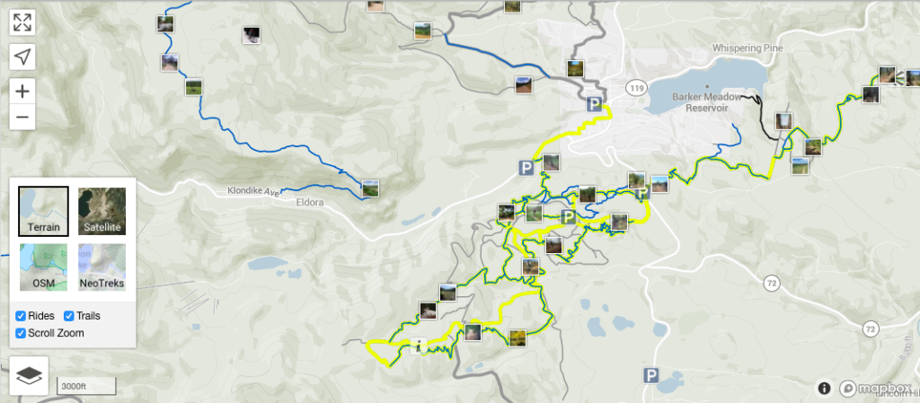
Our client is a mature British startup that’s using mapping technology to build an adventure platform with Unity-powered 3D maps for over 100 major mountain resorts around the globe. Available for web, iOS, and Android, our client’s product is a reliable guide for hikers, mountain bikers, skiers, and snowboarders to enhance their outdoor activities. The application helps to make adventures safer and lets outdoor enthusiasts peek around the hard-to-reach corners of mountain resorts.
Key features

Evaluate landscapes for safety

Embrace a new world of adventure

Reveal exact whereabouts on terrain
Industry: Entertainment, Recreation, Outdoor Navigation
Headquarters: London, UK
Market: Global
Team size: 2 members
Cooperation: February 2020 – present
Technologies:
Amazon EC2 / Amazon EMR / Amazon S3 / Apache Airflow / Apache Cassandra / Apache Spark / AWS Lambda / C++ / Docker / JavaScript / PostGIS / Python / RabbitMQ / Unity / WebGL
The client came with the challenge
Mobile technology and digital mapping software have been soaring in popularity among outdoor adventurers due to the capabilities it offers improved safety, terrain awareness, and the ability to share experiences. Understanding this, our client wanted to take their existing high-resolution 3D mapping solutions to a new level. When they came to BitsByteSoft, their solution was confined to the boundaries of 30 mountain resorts, but our client wanted to go beyond 100. They also planned to offer global map data coverage that would bring more opportunities and freedom to users.
The challenge of this project lay in completely redesigning the 3D map data processing pipeline. Our client needed to automate and speed up map compilation and rendering to handle ever-increasing data volumes. Lacking in-house expertise in architecture at such a scale, they approached BitsByteSoft for architectural consulting and supervision because of our experience delivering complex navigation solutions and mapping services for the location-based solutions.
BitsByteSoft developed the solution
We began from our client’s vision of the new data processing pipeline for their outdoor adventure map platform. It was crucial for us to get a thorough view of present and future data processing and compilation needs. Over a series of brainstorming workshops on mapping software solutions, our architects looked deeply into questions of versioning, tile normalization, pipeline orchestration, Amazon Web Services setup, performance capabilities, and constraints.
We arrived at the followingconclusions:
- The scale-up would require a Python-driven pipeline orchestration engine aligned with the database availability group concept
- For pipeline consistency and streamlined communication among components, a MetaStore layer based on Cassandra NoSQL DB and RabbitMQ (respectively) would be best
- Docker would be ideal for containerizing computational tasks
- Amazon Web Services – S3, EC2, EMR cluster with Spark, and RDS – were best suited for cloud computing
- Use of the MetaStore layer and AWS S3 buckets also saw a lot of discussion in the context of the design of the data delivery router service
We achieved great results together
BitsByteSoft proposed a set of architectural decisions for the spatial data processing pipeline and the separation of pre-processed GIS operations. We also offered recommendations on the optimal technology stack. The technologies we considered are popular and have been widely used to meet similar challenges.
BitsByteSoft consultation on architecture design helped our client:
- Transform their vision into a neat and comprehensive stakeholder-approved architectural design that was ready for development
- Breathe confidence into the technical viability of their undertaking to create the world’s first global 3D outdoor map
- Work out a firm method of accurately estimating efforts, budgets, time-to-market, and risk factors
- Reduce the deployment time for applications fed by multiple data sources, including tri-stereoscopic satellite imagery and accurate altitude data
- Implement the most recent satellite technology to make map resolution five times higher than the competition
- Offer outdoor fans fast and accurate tools for figuring out terrain from an abstraction, including aspect, altitude, gradient, and flats

Let’s work together on your
next project
Drop us a line about your project at contact@bitsbytesoft.com or via the contact form below with attachments, and we will contact you within a business day.